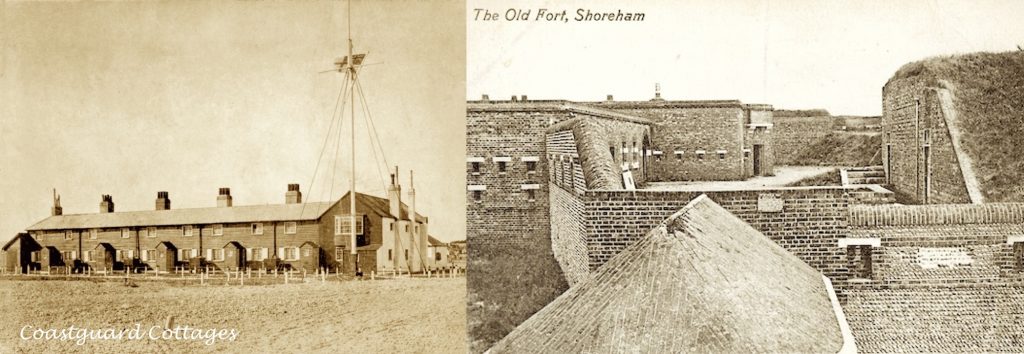
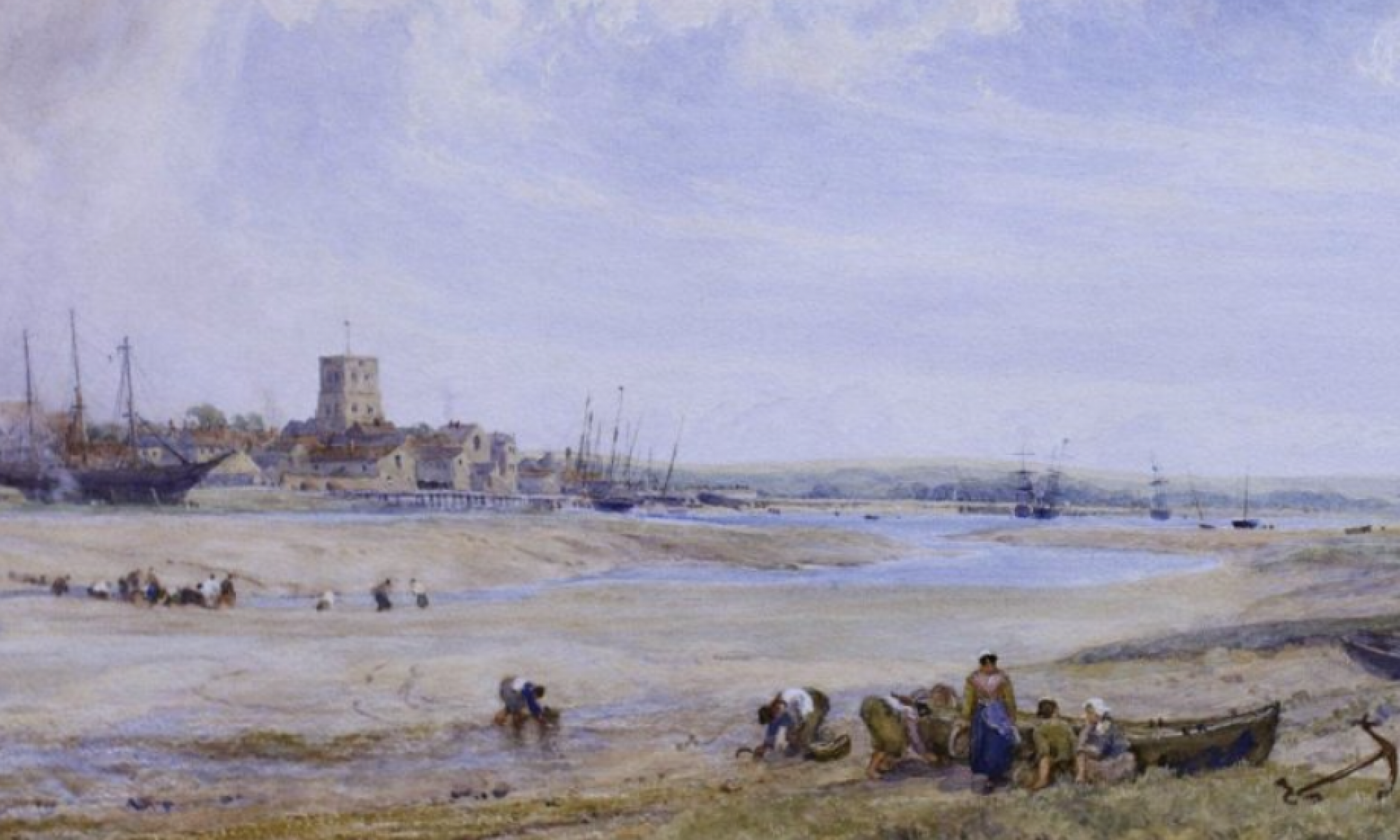
“I remember one midsummer morning (during the 1860’s) when we started at six o’clock (from Saddlescombe) to explore that remote wilderness called ‘No Man’s Land’ at Shoreham – then so lonely, now so populous (known) as Bungalow Town. We crossed the old suspension bridge, our country horses shrinking from the gleaming water on either side, turned on to the beach and rode to the only building there in those days*, the now ruined fort at the harbour mouth. From this issued a number of soldiers all in the scarlet coats of the period, who stared at us as if we had been a company of ghosts.“
* Written by Maude Robinson in the 1930’s of her childhood 70 years previously who, with the passing of so much time, seems to have forgotten or missed seeing the Preventative Service Watch House, later the coastguard houses, that had been erected by 1829.


A then-National Rivers Authority engineer once told me, during a raging night storm which he and the police were monitoring from below Ferry Road, that on a big tide, plus a high river level, the water table can rise to just 8ft below ground level on Shoreham Beach.
And he added that, should the sea break through at Ferry Road, “Lancing Train Station would go underwater.”.
And I think that this potential danger was one of the reasons why nowadays there are the beach-stabilising Norrwegian Granite rock groynes in place.
Also, a local builder once told me that almost every building on Shoreham Beach, great and small, rests on a concrete raft instead of conventional foundations, because the shingle depth is so great. But he added that the exceptions to this are the site of the now-demolished large coastguard station/tower and The Waterside Inn, as both are situated on rock/reef outcrops.
By the way, when a large spring tide starts to go out, you can observe from the Adur’s north bank the water jets pouring out from the south bank below the Waterside Inn!