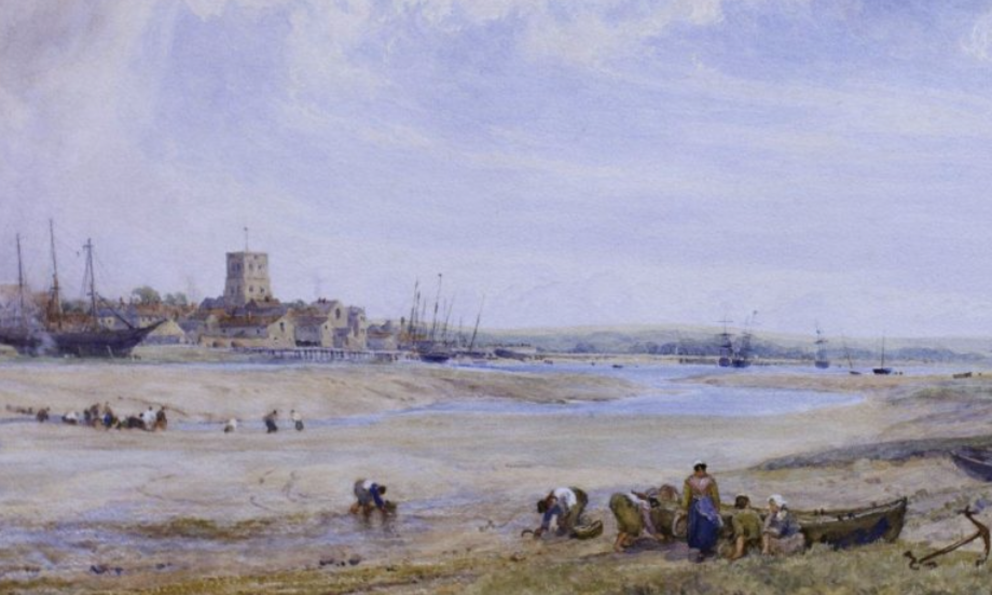

The history portal for Shoreham-by-Sea, Sussex, England
A very rare map of bungalows and their names as they were in 1917 when the growth of Bungalow Town was really getting under way. There are (as to be expected) lots of familiar and new names on this, some for new bungalows and others that were obviously changed. The footprints for each bungalow are not accurate, though, with no real indication of their shape (as with the 1930’s map) only identical hand drawn rectangles for each showing their location. The map year fortuitously coincides with the 1917 street directory (also on shorehambysea.com website) but already that comes up with a few anomalies (different names for some properties on the same spot, probably in part due to frequent name-changes and different time of the year between the two publications – there are even different names for some of the roads!).
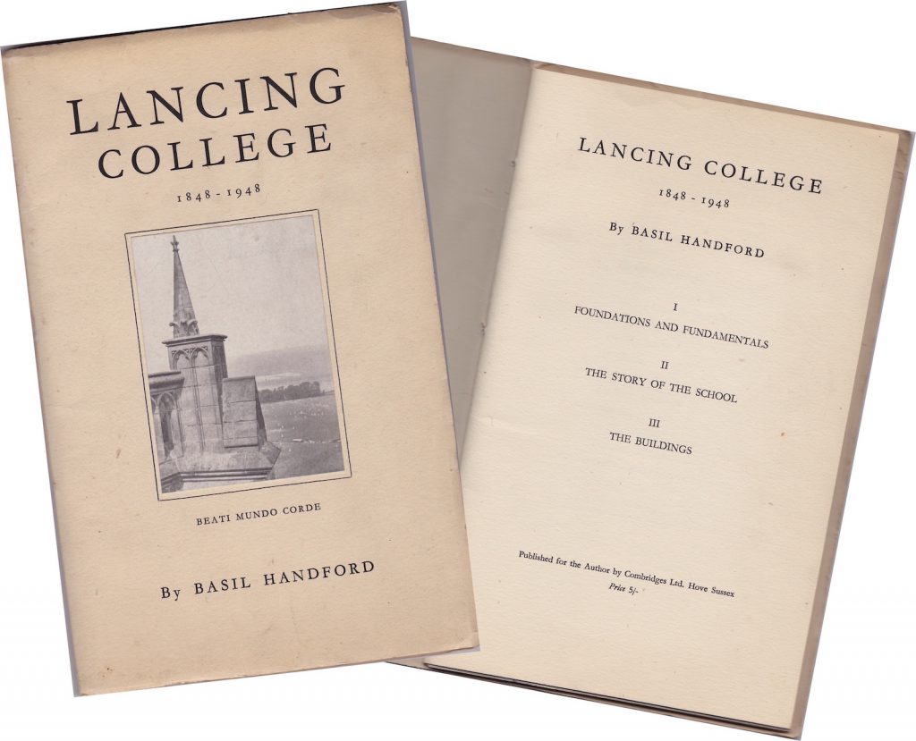
I Foundations and Fundamentals
II The Story of the School
III The Buildings
It turns out that three past and present Shoreham residents Brian Bazen, Denis Turrell and I are linked in a surprising set of coincidences. Earlier this year I was looking through Bob Hill’s collection of Old Shoreham photographs (he wrote the booklets ‘Old Shoreham Village & Farms’) in Marlipins Museum and found one of a V1 flying bomb (they were known generally as doodlebugs) that was taken through a window.
Compiled and coloured from his own collection of Joseph Ripley’s photographs of soldiers at Shoreham and Southwick during WW1 by local historian Neil De Ville ©2016
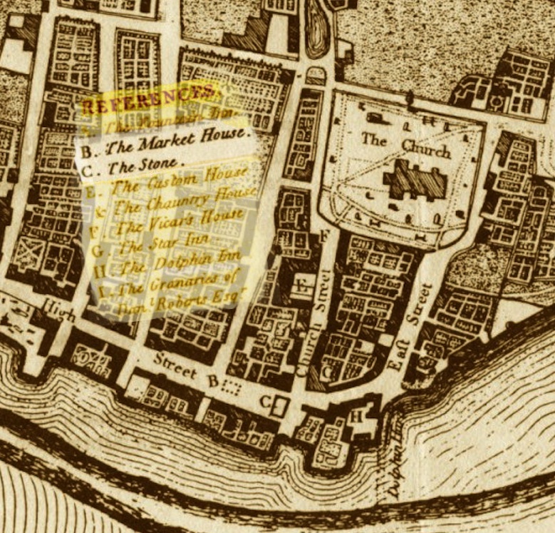
The Market House
Shoreham historian Henry Cheal tells us that following the great storm of 1703 that blew down the town’s original market house another was built in its stead in 1711 on 10 columns and stood opposite the Crown and Anchor pub.The new market house was described as having consisted of ‘an oblong canopy of freestone (a fine grained stone, usually sandstone or limestone) embellished with gothic ornaments, supported by ten columns’ and was ‘a fine piece of architecture.’ Was it merely a canopy or roof supported on columns – maybe not as Cheal refers to the new building as a market house? It was itself later removed and replaced by another market house contemptuously described as ‘a mean building of brick,’ in East Street near the New Road junction in 1823. From there we are told it was taken to the island at the bottom of Southdown Road where it would have been a landmark seen by the crowds on their way from the station to the popular Swiss Gardens.