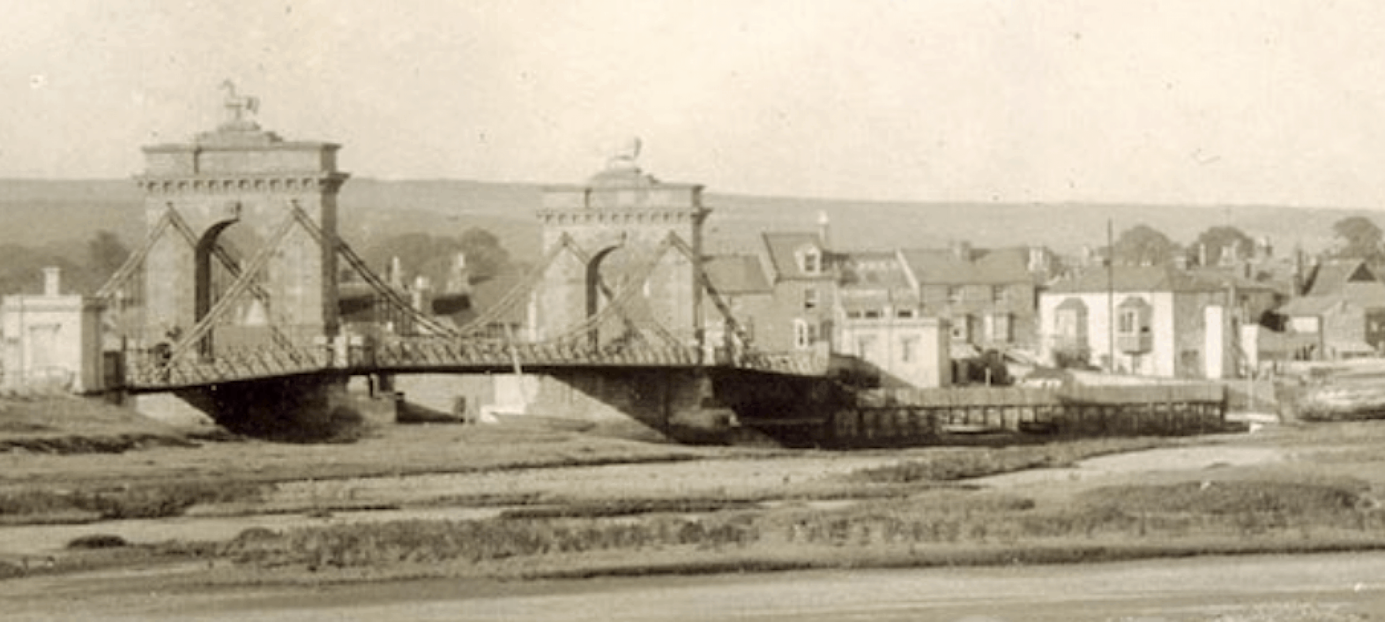
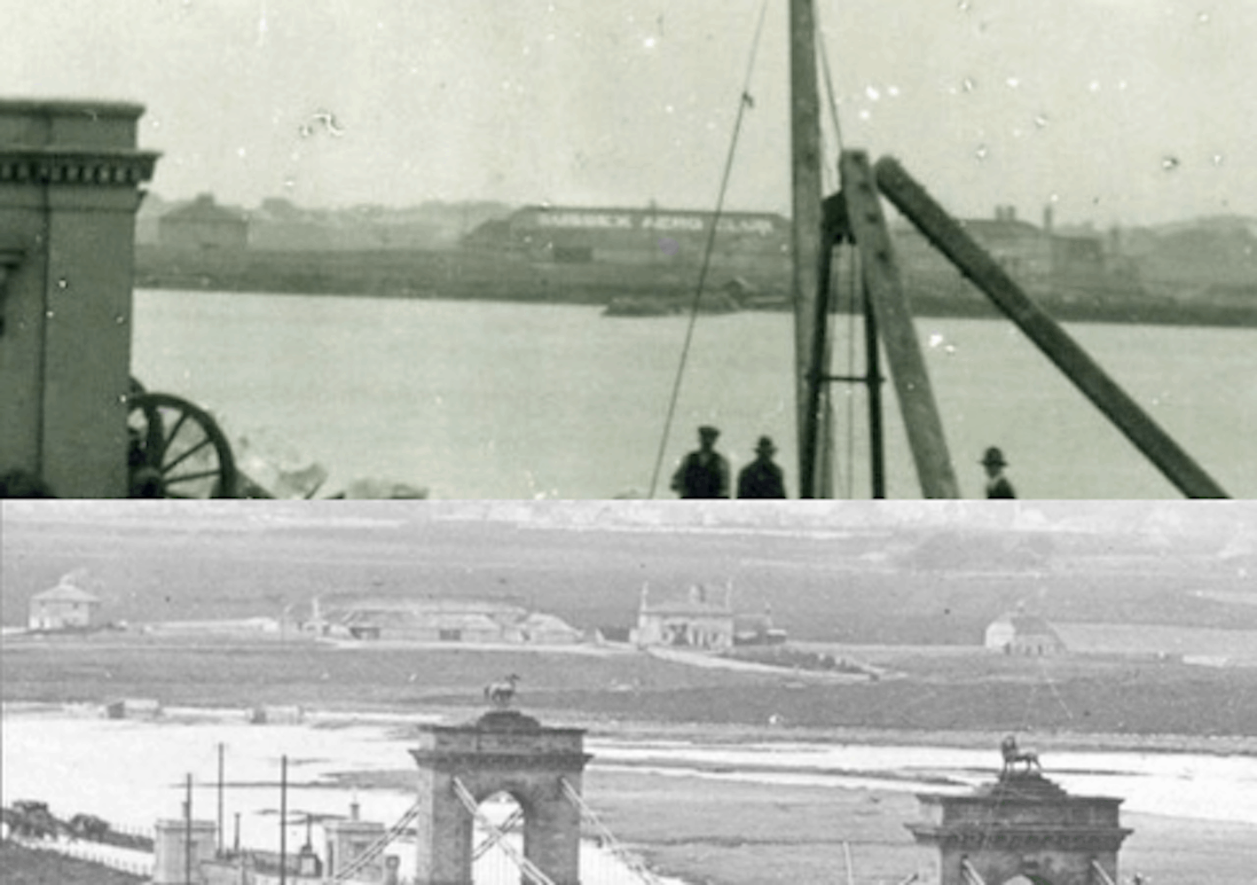
We’ve often seen views across the old suspension bridge to New Salts Farm and barn on the west side of the river south of the railway line but it wasn’t until discussing one image with Paul (Spinalman) that I realised detail from a 1922 shot of the suspension bridge being demolished (top photo) included lettering on the long barn ‘Sussex Aero Club.’ This was a bit of advertising by the owner of the aero club on the main airfield who rented that barn in Easters Field from the farmer. Shortly after, the barn and the field was rented by the Miles brothers to develop and fly their aircraft for a short while in the early years of their Miles Aircraft company before they moved to the north side of the railway.
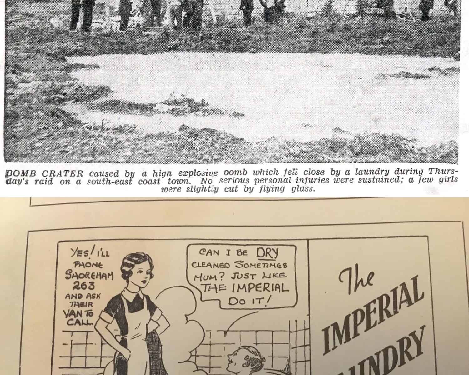
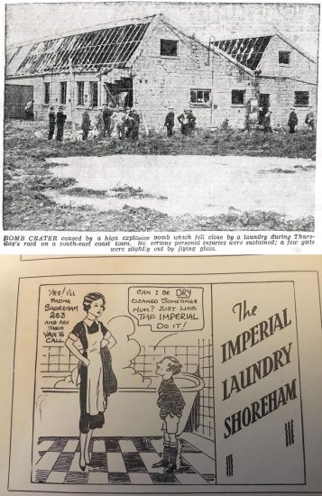
Imperial Laundry
An advertisement for the Imperial Laundry kindly donated by Lorraine Luke – it stood near the viaduct and this newspaper photo of a near miss by a German bomb is described in
http://www.shorehambysea.com/shorehams-war/
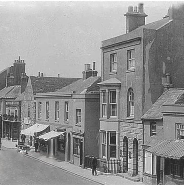
Rare High Street view
You don’t often see this part of the High Street in old photos
(courtesy of Neil De Ville)
Two events recording one photograph
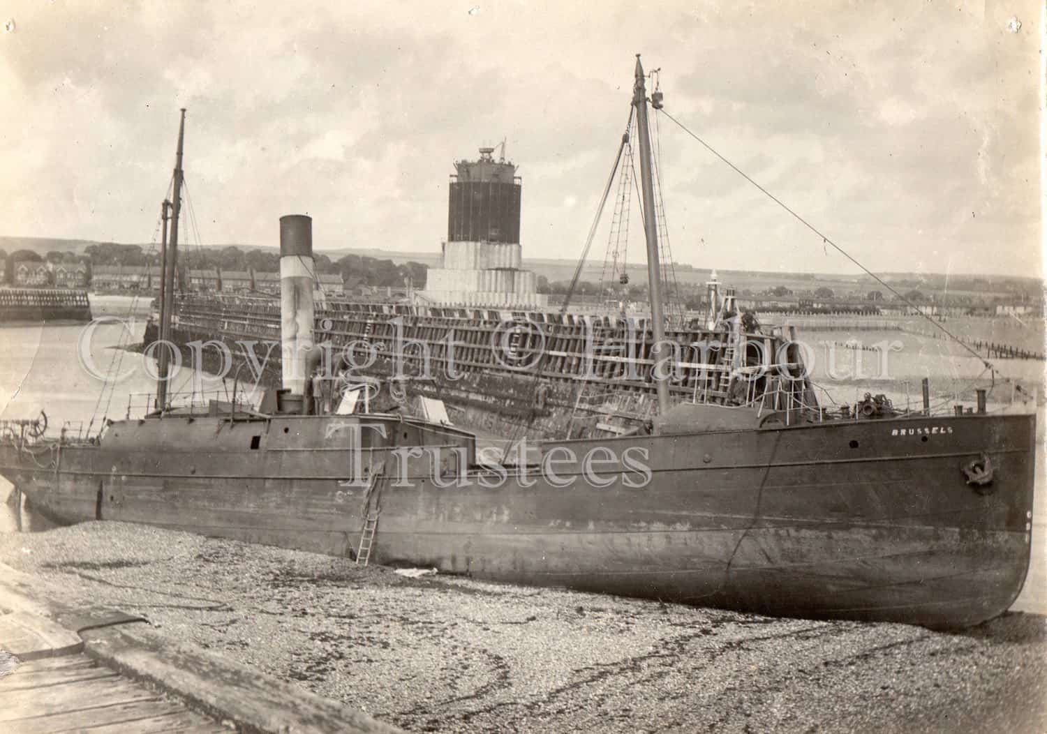
A photo that unusually records both the grounded SS Brussels and the last of the two mystery towers before it was demolished – July 1922
The lifeboat house and lifeboat had been moved to the beach in 1892 after the build up of the bar had prevented the lifeboat from leaving the harbour. They were returned to Kingston after the bar had been cleared and after that photo was taken. Holloways of Shoreham were involved in harbour reclamation work in 1925 which seems likely to have included clearing the bar.
Properties for sale
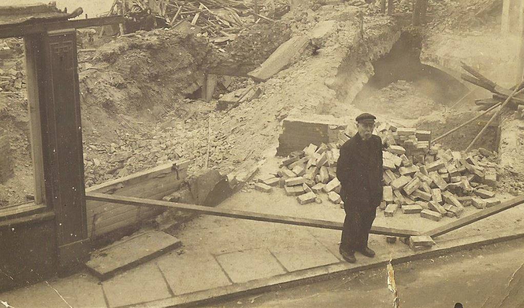
Houses and buildings were advertised for sale in the papers very much like they are today. One gives details of the numerous store-rooms, cellars and counting room of Daniel Roberts’ huge granary on Mill Green, Ropetackle (1826). Earlier, in 1813, it had been advertised for sale, suitable for possible conversion into a tide-mill. Another advertisement in 1831 revealed that the lean-to still to be seen on the side of the Crown & Anchor was then a hairdressers’ and the sale of the original windmill in Mill Lane (1832) disclosed that it was a wooden smock mill before it was rebuilt in brick and converted to steam power. The Dolphin Chambers buildings on what is now Coronation Green in 1812 included ‘High Cage’ a pivoted boom at the end of which was a lighted brazier to guide vessels to the quayside in poor visibility. Below ground level was an arched cellar 30 feet by 13 only exceeded in size by the vaults in Church Street and the later Custom House/Town Hall.
(Photo shows Dolphin Chambers being demolished in 1938 with the arched cellar just visible behind the man)
Criminal matters
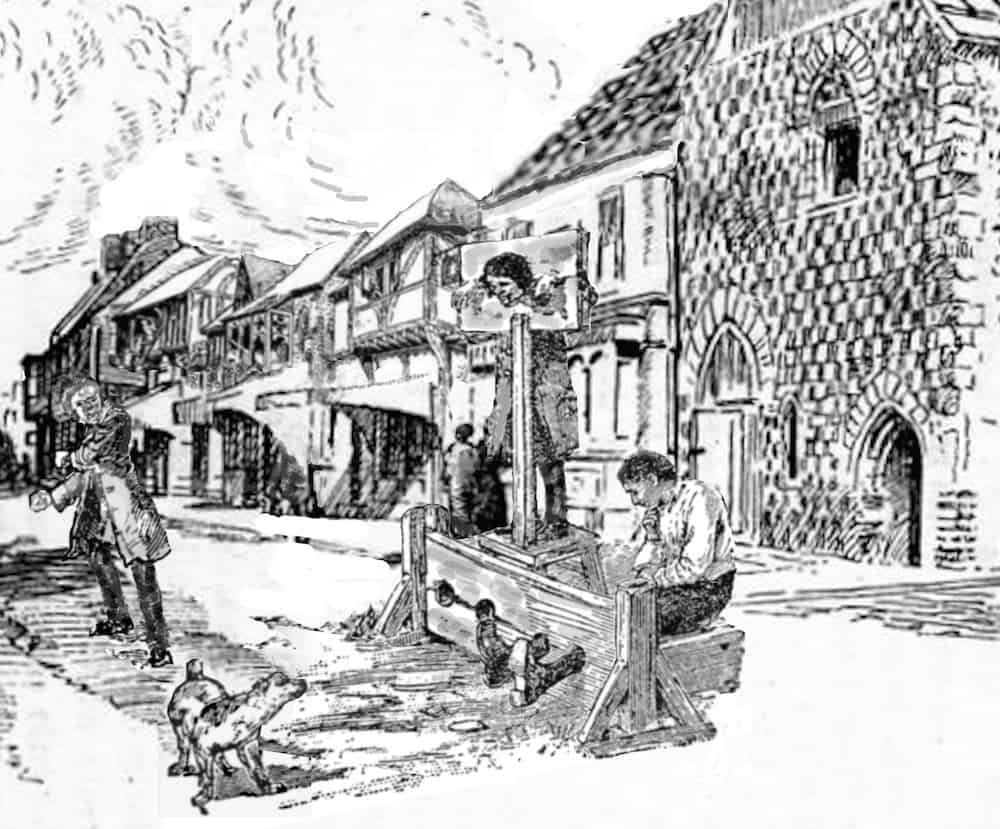
A trawl through newspapers of old brings up some interesting facts. In Shoreham stocks were still being used for lesser offences well into the 19th century; the thief who stole gooseberries from Barruch Blaker’s garden was ordered to receive ‘a good whipping through Shoreham’ administered by the parish constable (1819); a number of months hard labour was the sentence for minor stealing and other misdemeanours; John Hindess received six months hard labour for keeping a brothel (1842) – he was aa Navy pensioner who had fought at Trafalgar but lost his pension because of the offence and in other words was punished twice; John Banks was found guilty of stealing a cow (1823) and after trying to escape across the river near the Pad was re-arrested and later executed; John Baldock of Shoreham also received the death penalty for burglary (1838); Charles Packett was convicted of stealing one of John Glazebrook’s sheep (1838) and sentenced to be transported to one of the harshly run penitentiaries in Australia for ten years – all this at the time when an increasing number of emigrants had been voluntarily sailing from Shoreham for a new life in that country and Canada (1832).
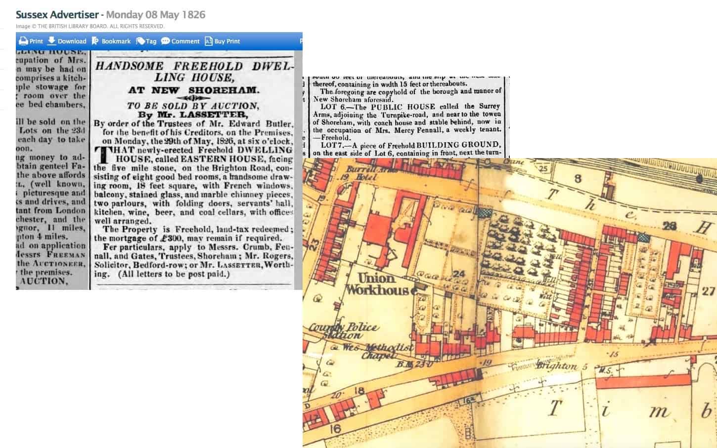
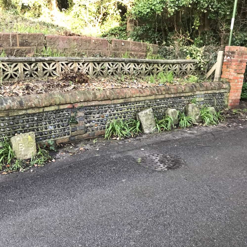
5 mile stone
Identifying the location of this building advertised in 1826 prompted a look at the old Ordnance Survey maps to find where the five mile stone was (five miles from Brighton) on the Brighton Road. Turns out to have been the Surrey Arms – originally known as Eastern House a later advertisement shows it to have had eight bedrooms!
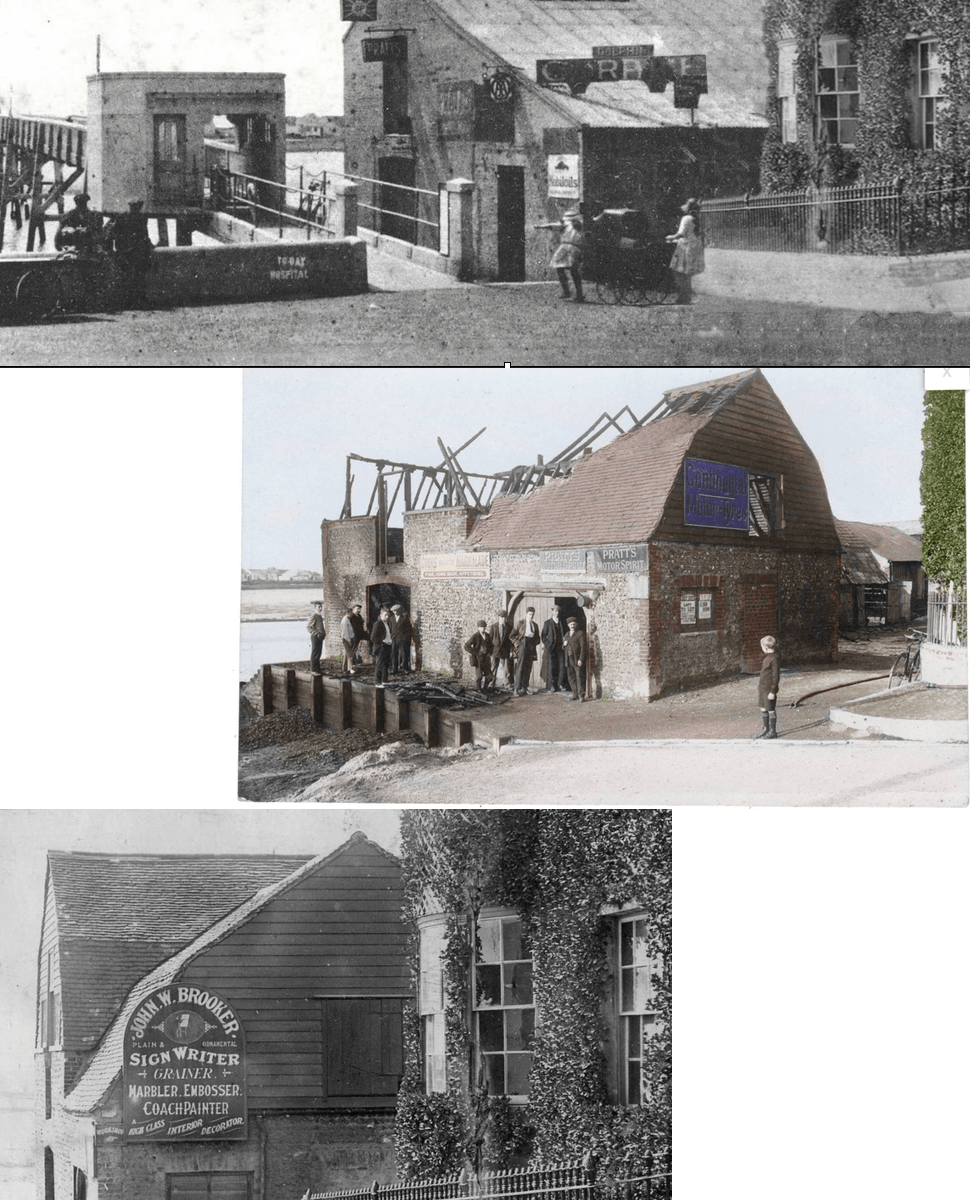
Coronation Green Barn
Photos showing three phases in the life of the barn that once stood on what is now Coronation Green.
Below – as a workshop for John Wallace Brooker, signwriter – he also played in goal for Shoreham FC in the early 1900’s
Centre – Gutted by fire 1911
Top – Repaired and remodelled for use as a garage 1920’s
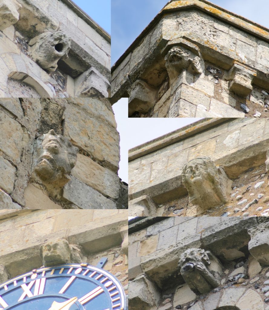
Gargoyles
