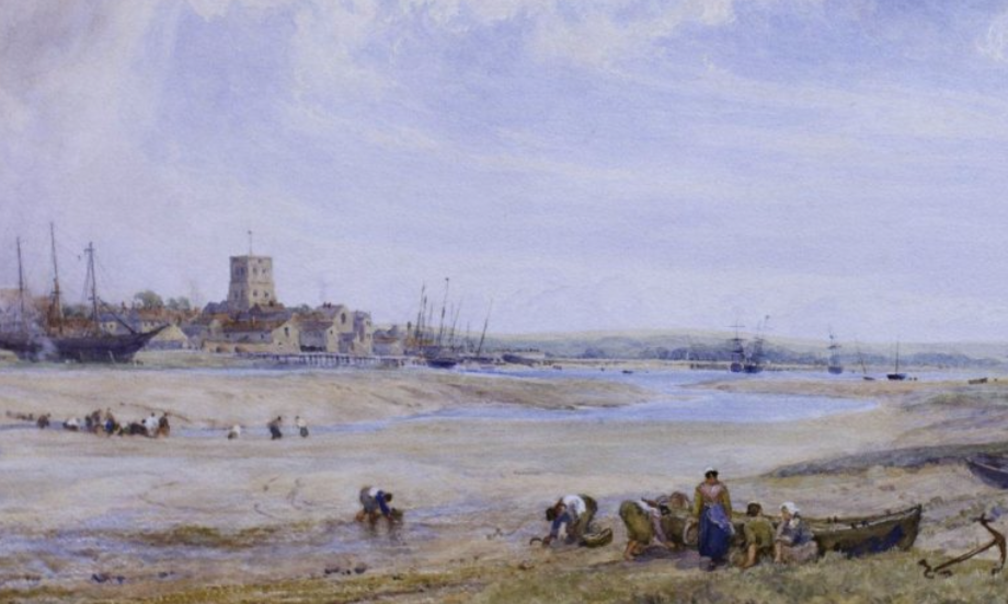
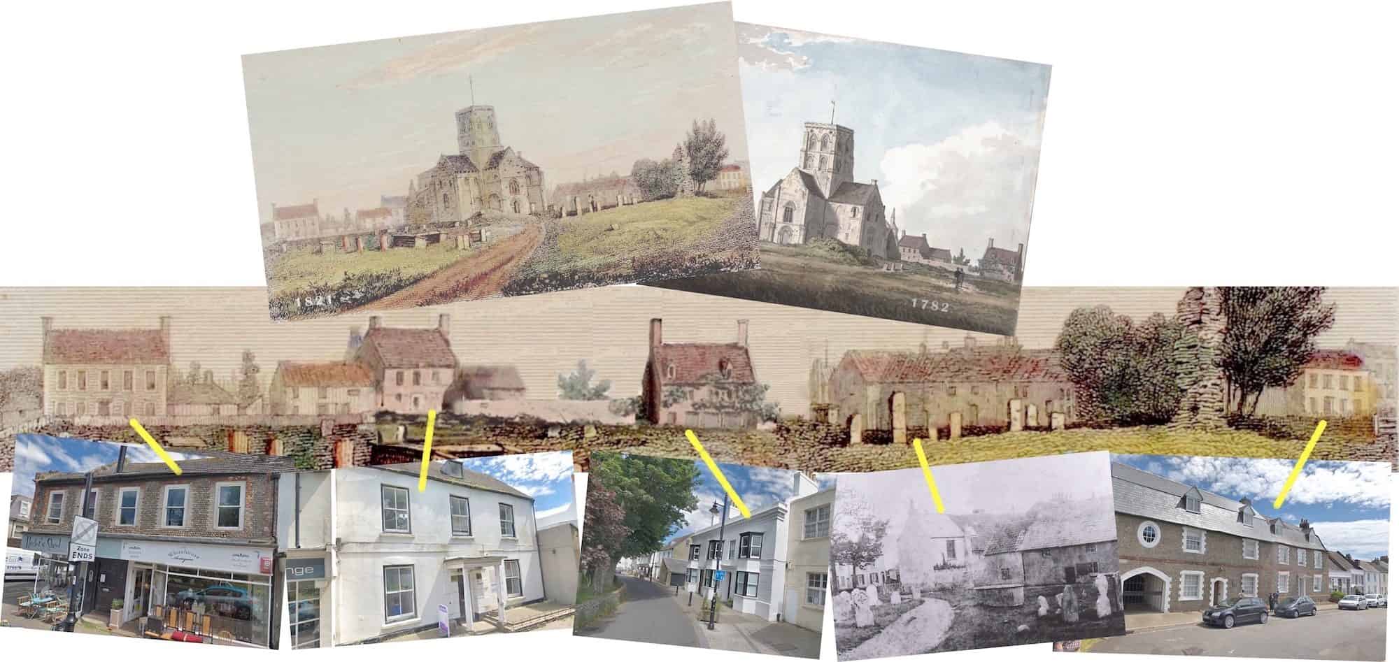
Old photos show exactly how some of our buildings used to look. Old engravings and paintings though sometimes reflect an artistic and inaccurate interpretation but two that we’ve noticed seem to show a fairly true representation of some of the buildings in their original form and location. With the help of 18th and 19th century maps of Shoreham, photos and a little photo-shopping the result may provide a realistic vista of the east and south sides of the churchyard as they once looked.
Rockets on the Beach
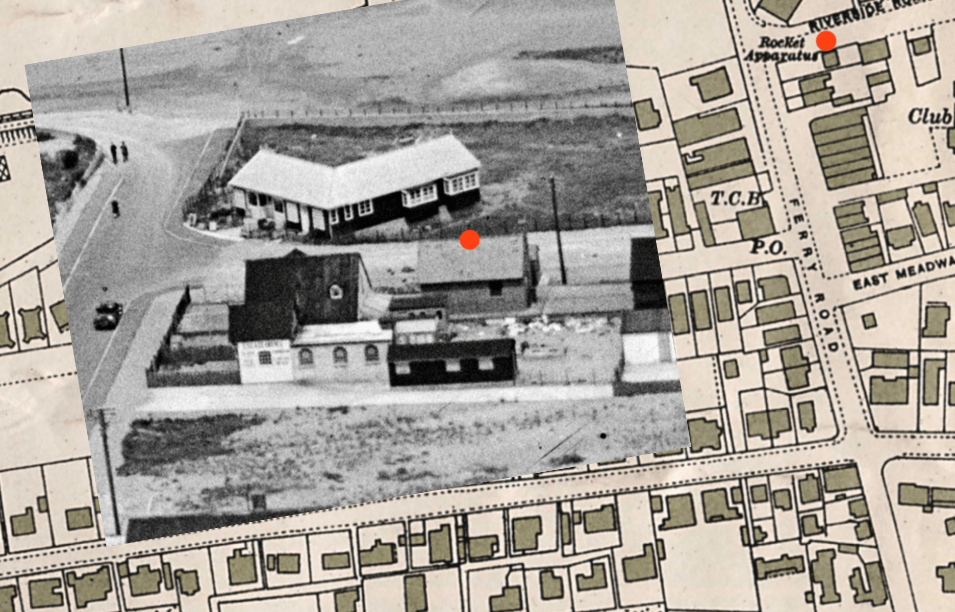
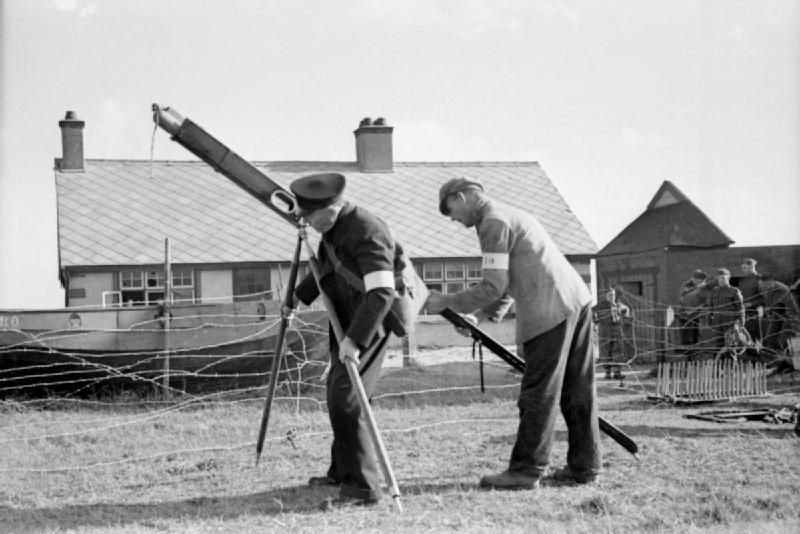
The large shed(s) or small building(s) marked on the 1931 OS map as ‘Rocket Apparatus’ and with a red dot on the photo, apparently also contained other lifesaving equipment such as lines, breeches-buoys etc., Following the coast from Lancing to Seaford on maps for the same year and earlier faithfully record other coastguard cottages as well as Shoreham’s but don’t seem to show any further references to rocket apparatuses. Why is Shoreham’s the only one to be shown – weren’t there any others at that time? From a practical point of view why weren’t they stored closer to the sea?
Did St Mary’s church ever have a spire?
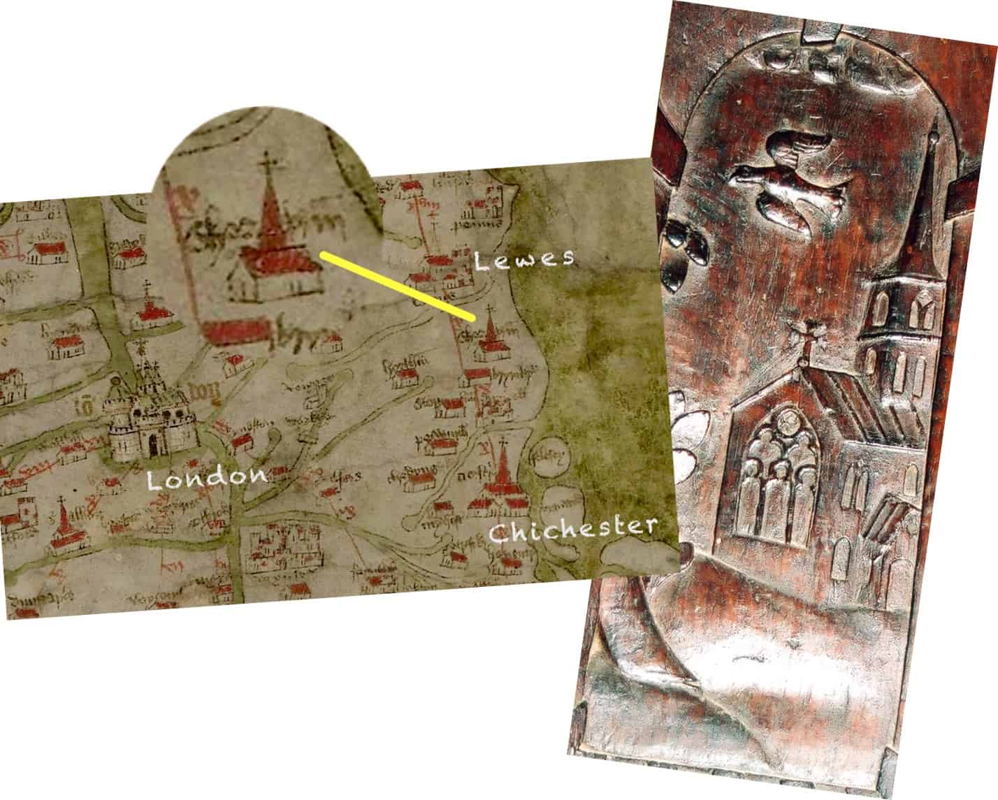
These images tend to support the view that it did:- Gough’s 1360 map, drawn when St Mary’s was just two hundred or so years old, and detail from the panel of a 17th century chimney piece in Marlipins Museum (photo Giles Standing). The carving was believed by some to be ‘an inexact but legitimate representation of St Mary’s Church with its nave intact (and spire)’ (Salmon 1903: 237) but many dispute this, quoting a lack of of any evidence of a spire at all in the known records and that the carving was simply a stylised representation of a church in the early 17th century. The same argument is put in the case of the 1360 map.
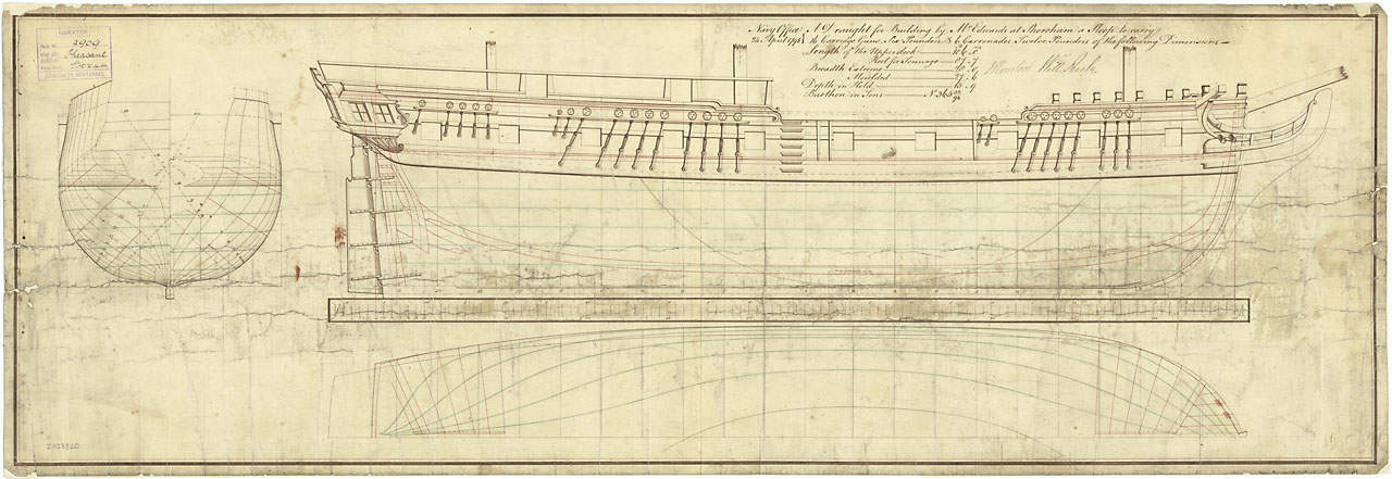
HMS Pheasant
HMS Pheasant was built for the Royal Navy in 1798 by John Edwards at Shoreham. A sloop of 373 tons burthen, 106 ft gundeck, 16 six-pounder guns, 4 twelve pound carronades, two nine-pounders and a compliment of 121 crew. It was an amazing coincidence to discover that a predecessor captured by the French in the Caribbean but released in an exchange of prisoners was conveyed to HMS Spartiate some miles away in the Pheasant. Shortly after he was still with the Spartiate when that vessel took part in the Battle of Trafalgar.
Pheasant 1798 Courtesy of National Maritime Museum, Greenwich image ZAZ3820 copy.jpg
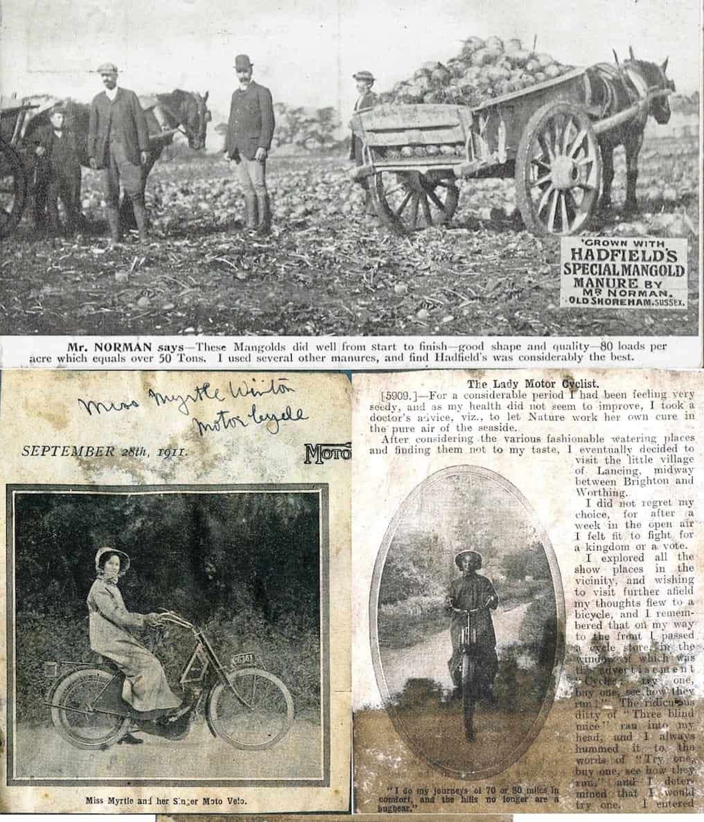
Shoreham Residents in Advertisements.
Hadfield’s advert featuring early 1900’s Old Shoreham farmer William Norman and his massive mangolds! In 1910 another Shoreham character that featured in an advert was Myrtle Winton who’s husband Reg Eley ran a motor cycle business in Shoreham. This over-pasted and grubby insertion from the ‘Motor Cycle’ magazine in the family scrap book is nevertheless an interesting relic perhaps.
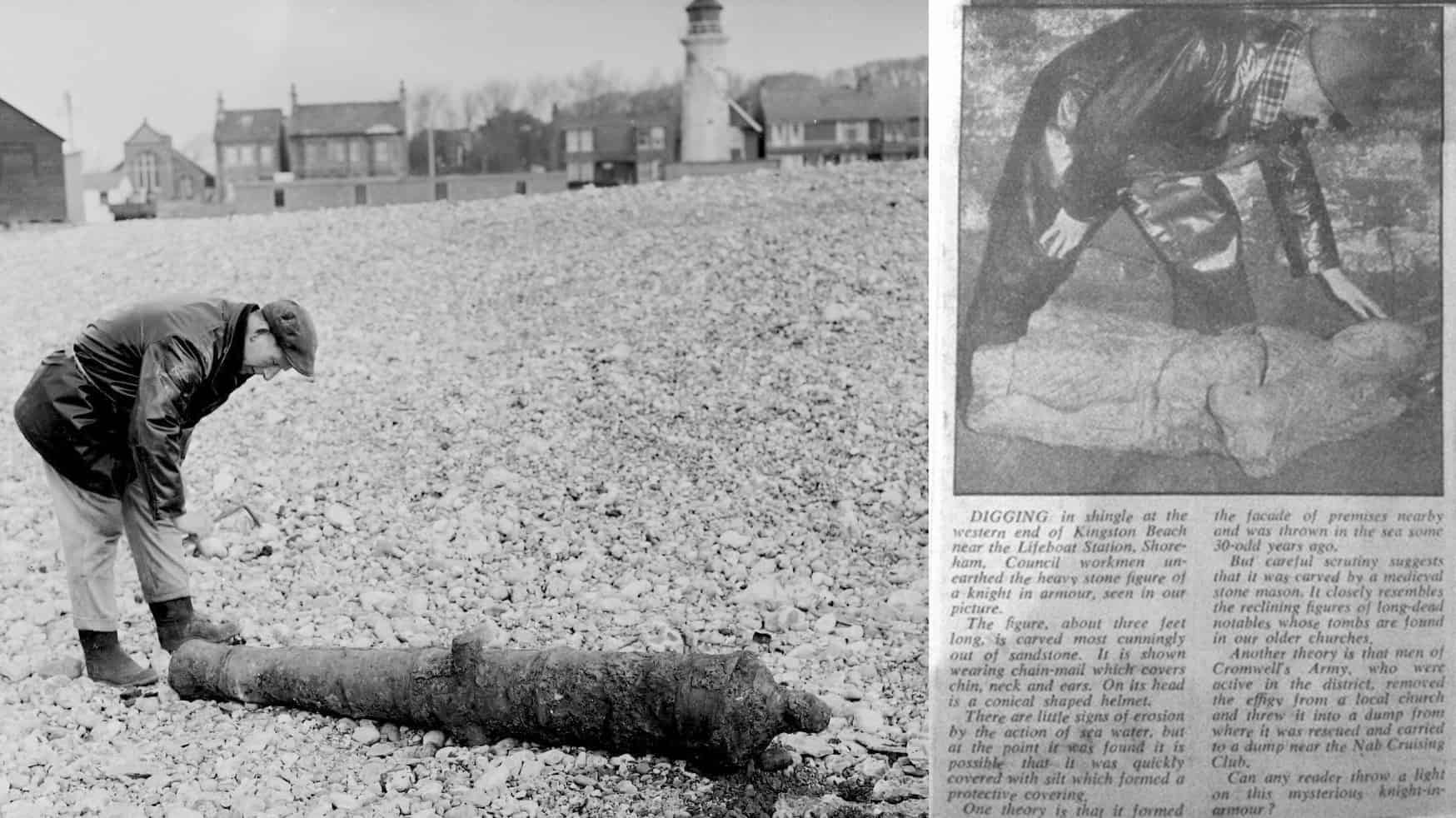
Kingston curios
Kingston near the harbour mouth has come up with some interesting artifacts in the fairly recent past. This old cannon (little known about it though – perhaps Nobby English who is credited with the photo may know?) and this effigy of a mediaeval knight that was revealed in the 1950’s following erosion of a chalk layer/bank – an important discovery I would have thought but what happened to that?
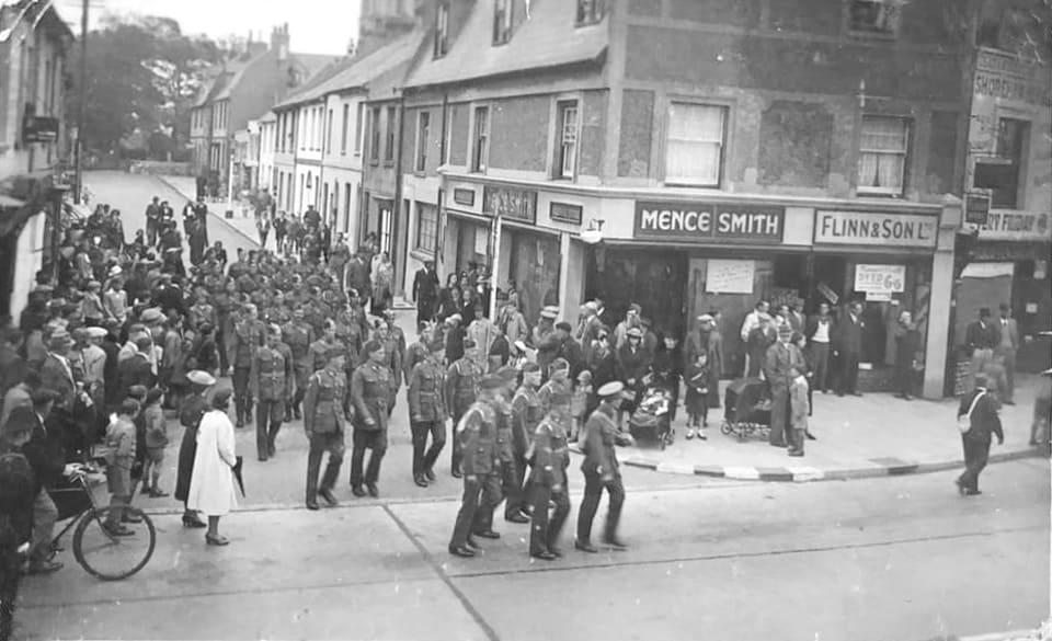
WW2 photograph – High St
WW2 photos are quite rare – this one courtesy of Trisha Robb, shows the junction of Church Street and High Street.
Ricardo Two Stroke Engine Company
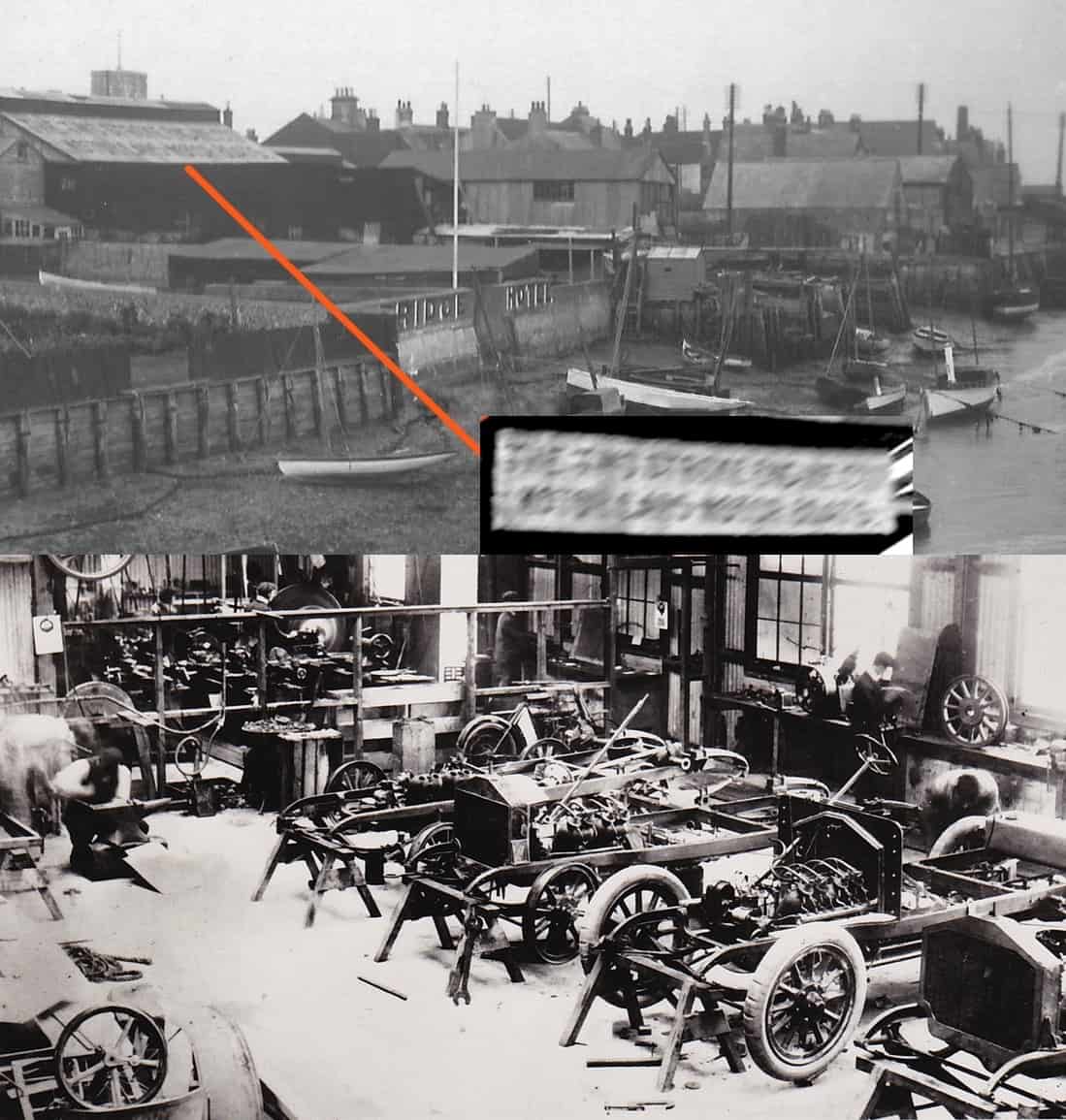
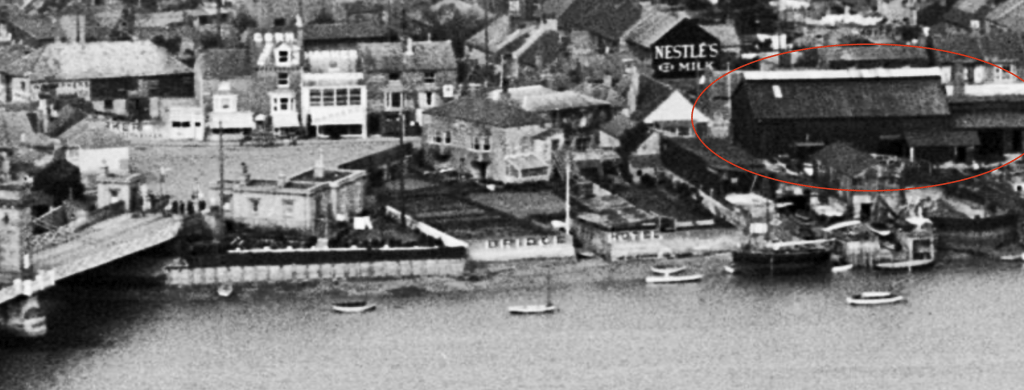
In this postcard of the riverside you can see lettering on the roof of one of the buildings. Cut it out (digitally) then distort it and you can just make out ‘The Two Stroke Engine Co’ This was where Harry Ricardo had his first ‘factory’ making the ‘Dolphin’ car powered by a two stroke engine
West Street’s history resurfaces?
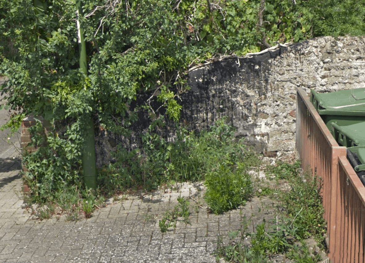
How long does dried tar last? History tells us it can be centuries. A few years ago they cut the cypress trees and undergrowth down on the north side of the catholic church car park and revealed spilt tar on the west end of the railway wall. Even after the railways came (1840’s) they continued to twist and tar the ropes under and through the bridge from West Street to the top of Ropewalk and still laid out their tarred sails to dry up until the 1880’s.
They used Stockholm tar, a clearish amber colour, very slow drying and kept supple on ships’ ropes and sails by continuous reapplication but, apparently, when it does eventually dry it turns black. Is this a century (and a bit) evidence of that industry where brushes were wiped of excess tar? Sadly I doubt it – probably more like an accident by a clumsy worker during the tarmacing of the church car park I guess.
West Street’s ropemaking history:- http://www.shorehambysea.com/1400-2/
Charles Peak and Southdown Nursery
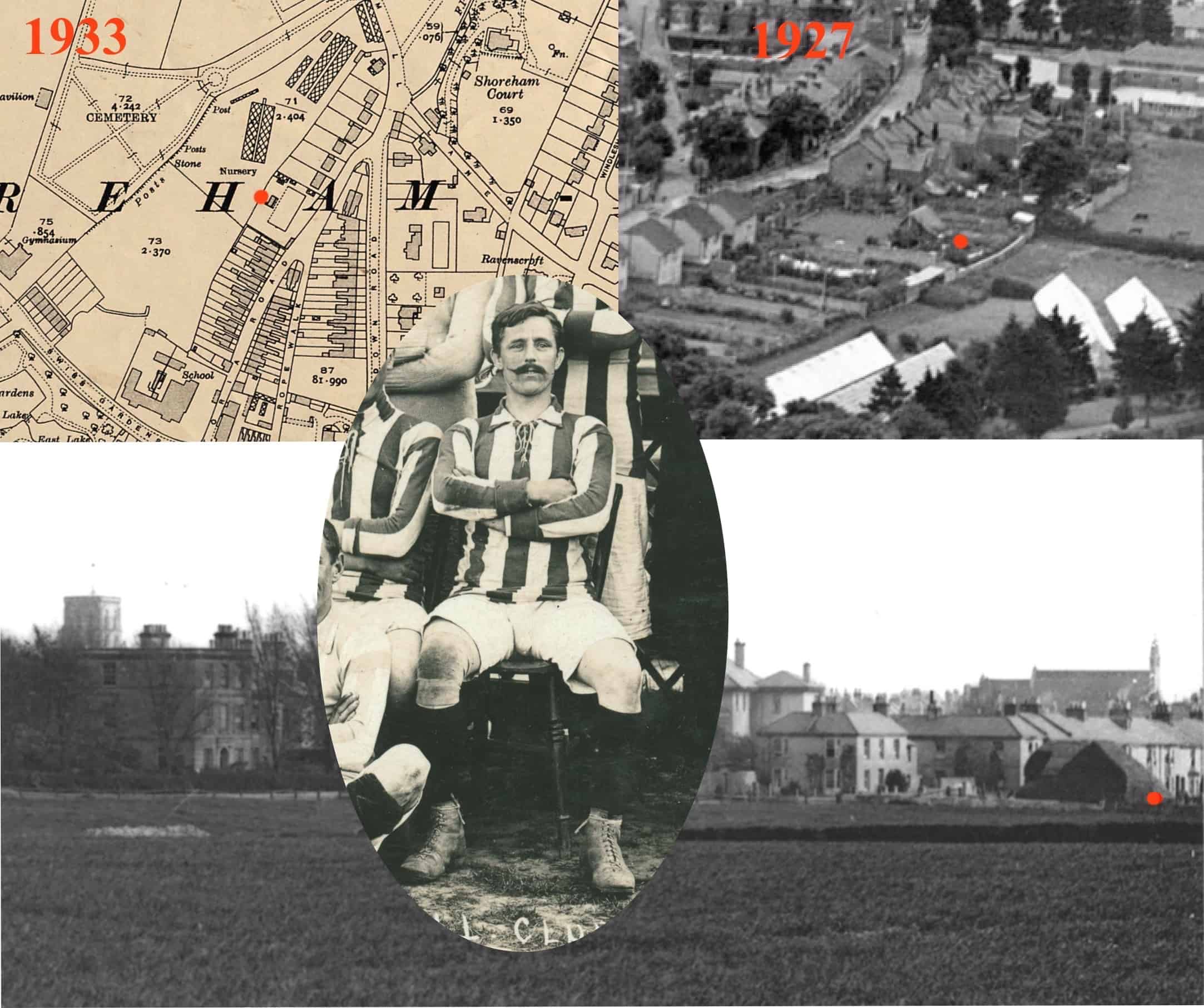
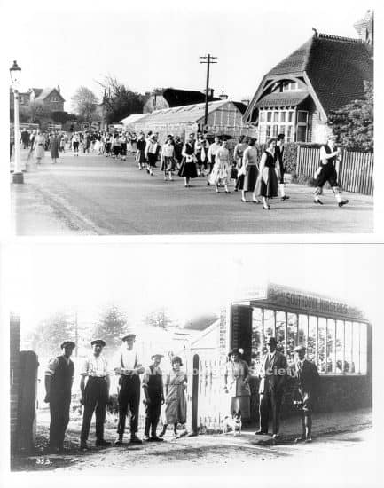
Some time ago Spinalman drew our attention to a late 19th century photo of what looked like upturned boat/ship hulls, presumably used as sheds, on the west side of Victoria Road opposite the point where Rope Walk meets Victoria. Looking through the 1927 ‘Britain from Above’ aerial photos I wondered if one of them still survived at that time. I don’t think it is but Charles Edward Peak, left wing for Shoreham FC’s 1905/6 record breaking side and fruit grower owned the Southdown Nursery at the top of The Meads recreation ground (where the greenhouses are) and lived at the house shown side-on at the corner of the plot in question (then 16 Victoria Road, now number 77). It looks like a lovely little oasis in an encroaching sea of houses and may well have belonged to Peak as well. Other photos of the main entrance are also attached.
