GPO writes in 2020:
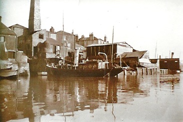
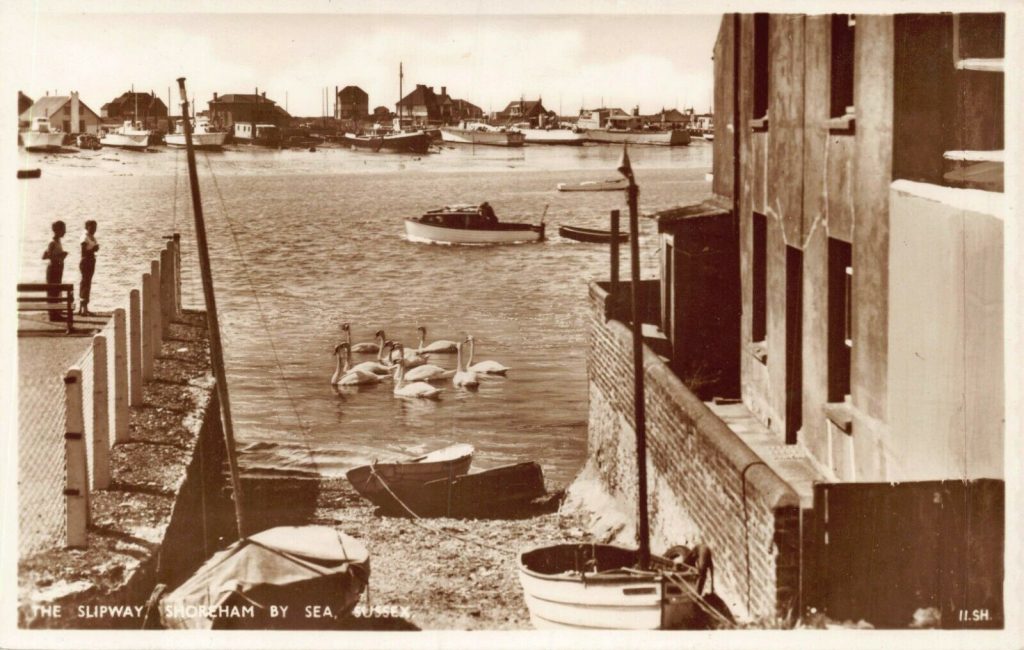
I recently came across this first picture of Star Gap. It may be familiar to others, but it’s not one I have seen before. The concrete part of Coronation Green seems to have been recently made up and has new concrete posts supporting chain-link fencing.
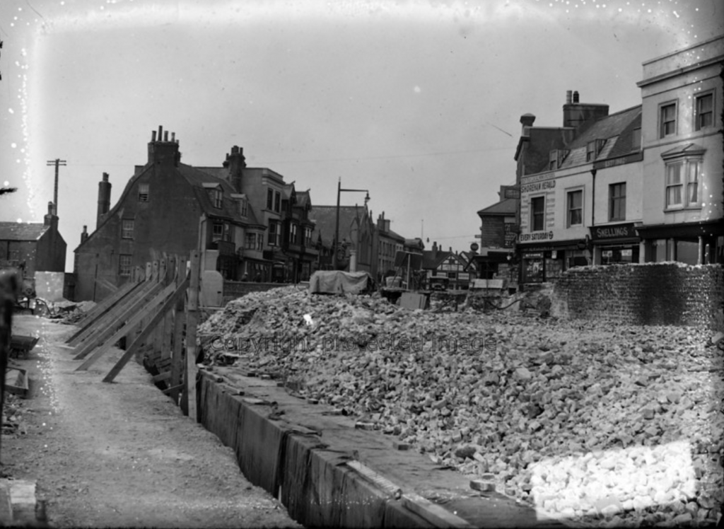
As we know that this part of the High Street was widened in the thirties, it must be after this time, although I understand that there had been a wharf in this position even before the buildings were demolished. But this view is obviously later than that.
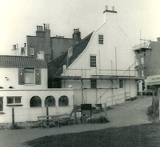
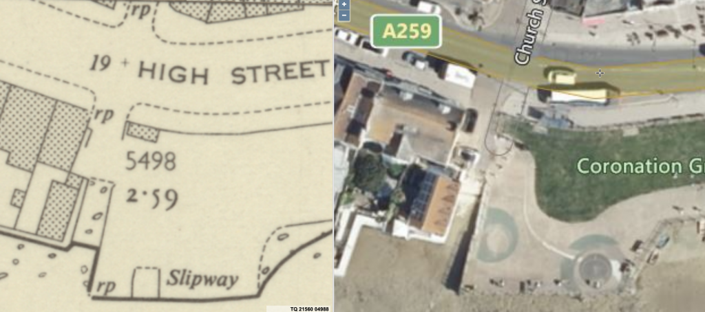
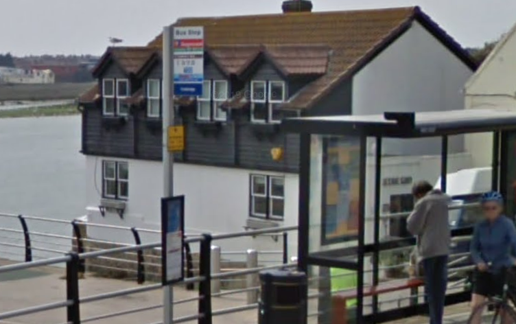
What I find interesting is that the cottage or house (houses?) is quite different from what we see today. The main difference is that the present house is built right up to the retaining wall, whereas in this photo there is a path in between.
I’m not sure exactly when Coronation Green would have been fully completed. Was this before the war or after?
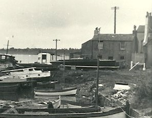
If we now look across the river we can see houses that must have been built before the war roughly where River Close stands today. So was this view taken before the war, showing the houses intact, or were these houses some of the few that were retained during the conflict, and only cleared when wholesale redevelopment of the Beach took place from the 1950s?
A lot of questions, I know, but perhaps some kind soul could fill in the gaps. But not Star Gap, as we’ve already lost far too much access the the river as it is!!
Lofty adds:
The very first photo at the beginning of this topic is taken from a postcard published by Wardells. Unfortunately there are no longer any records of their cards, so we cannot look up the serial number of the card to verify when it was first published/printed. However, I do have a copy of this card in my own collection, and it was posted in April 1957.
The three photos below are of the cottage at 21 Star Gap, and are dated 1905-1910, 1950, and October 1975.
This house is sometimes opened by the owners, who are artists, as part of the Adur Festival Artists Open Houses event.
